CHALLENGE 01
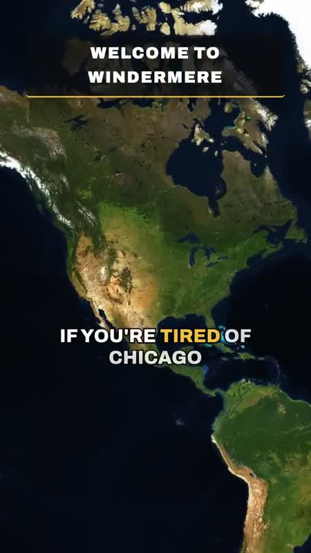
Satellite imagery that would not load
The map needed real satellite imagery, but Mapbox's ready-made map styles point to their resources with a mapbox:// address. The open-source MapLibre renderer cannot resolve that address.
VERIFIEDTest frames of the satellite map were rendered on 21 May 2026. The full Windermere video renders the map from the first frame to the last.
Why it was hard, what I decided, how AI helped
- Why it was hard
- Nothing about the style looks wrong. It loads from Mapbox, then quietly refers to tiles, fonts and icons the renderer has no way to fetch.
- My approach
- I wanted a continuous satellite flyover from the whole country down to the street, under every beat of the video, using an open-source renderer.
- How AI helped
- Claude Code replaced the Mapbox style with a small inline style that requests Mapbox's satellite tiles directly over HTTPS, and added sky and fog settings for the tilted camera.
- The decision
- Keep the open-source renderer and take only the imagery from Mapbox, instead of switching map libraries.
- Evidence
- src/MapFlyover.tsx (buildSatelliteStyle) · out/test-satellite.png · commit 57d6277